Erik Perry · 10 September 2026
Felshain Rail Project Revives Land Use Controversies in the Valley
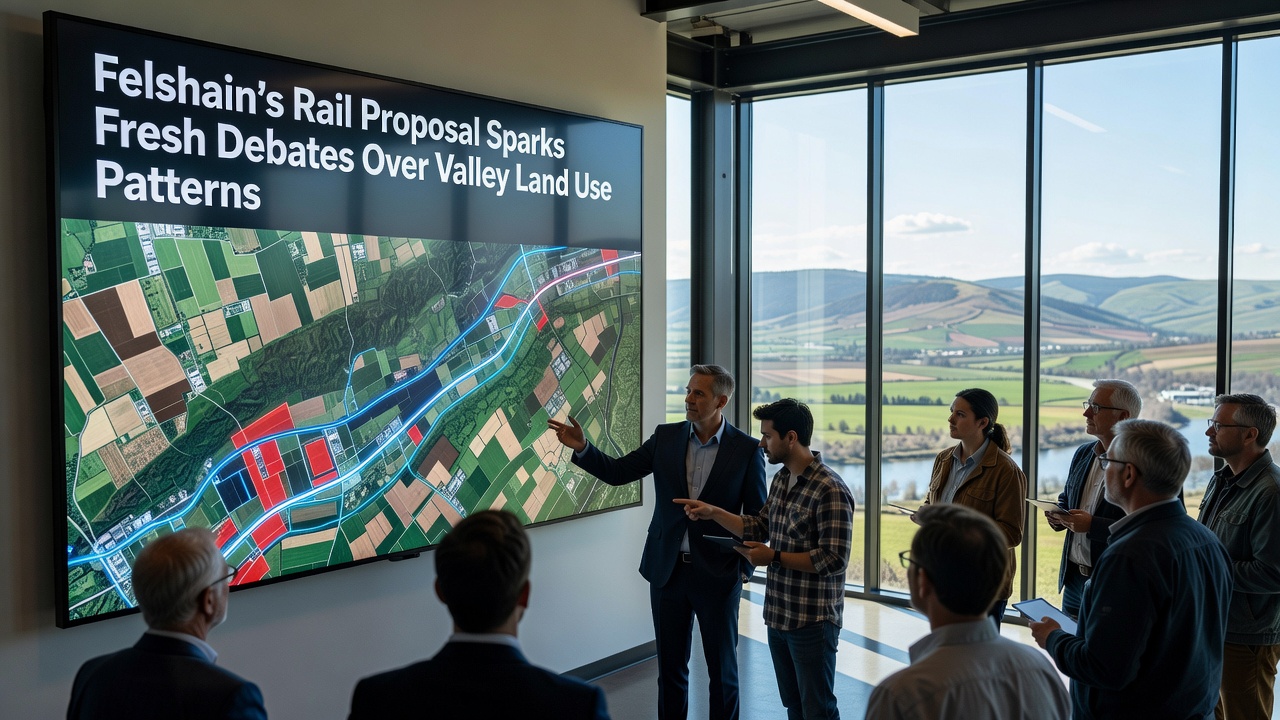
Officials in Felshain have advanced a rail expansion plan that connects the town center with regional transport hubs, and this move has renewed scrutiny over how land gets allocated across the surrounding valley. The proposal outlines new tracks running parallel to existing roadways while crossing several agricultural parcels that have remained largely unchanged for decades, and planners expect construction to begin following public reviews scheduled for September 2026.
Project Scope and Route Details
Engineers designed the line to handle both passenger services and limited freight, which means the corridor requires wider rights-of-way than previous local rail efforts. Maps released by the regional transport authority show the route cutting through low-lying areas near the river, where soil conditions support intensive farming yet also present drainage challenges during seasonal floods. Project documents indicate that approximately 180 hectares of mixed-use land fall within the acquisition zone, and compensation frameworks follow established national guidelines for infrastructure projects.
Local records reveal that valley land patterns have shifted gradually since the 1990s, with residential clusters expanding outward from the historic town core while commercial activity concentrates along the main highway. The new rail alignment intersects these trends at multiple points, prompting analysts to examine how station locations might accelerate or redirect future growth.
Land Allocation Patterns Under Review
Researchers at the regional planning institute compiled data showing that farmland in the valley has decreased by 12 percent over the past fifteen years, and much of that conversion occurred near transport nodes. The rail proposal adds another variable because it creates new access points that could support higher-density development if zoning adjustments follow. Observers note that similar infrastructure additions in neighboring districts produced measurable increases in property values within a two-kilometer radius of stations, while peripheral agricultural parcels experienced mixed outcomes depending on access restrictions.
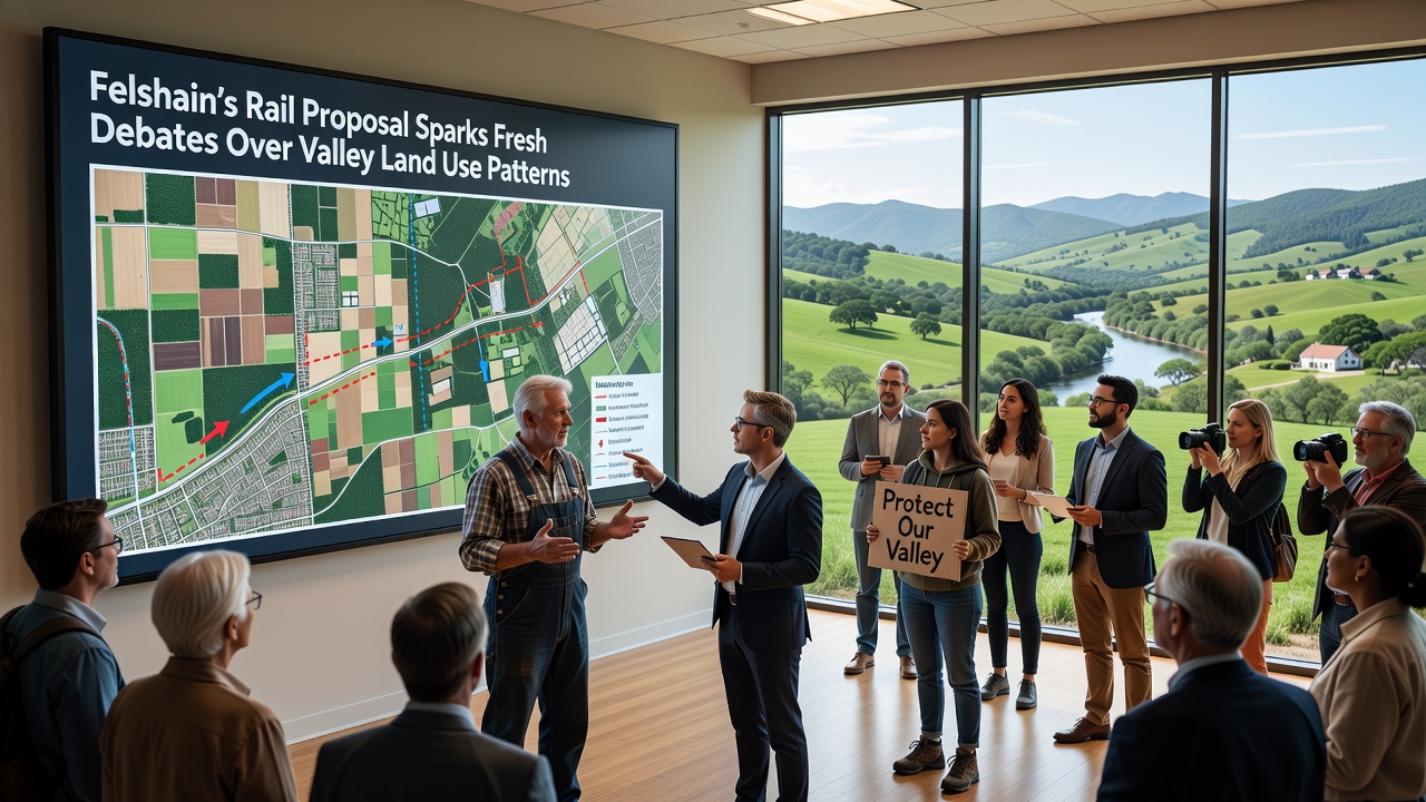
Environmental assessments attached to the proposal identify wetland fragments and hedgerow networks that cross the intended path, and mitigation measures include wildlife passages plus buffer strips along sensitive stretches. Data from comparable projects in other European regions, according to European Environment Agency reports, demonstrate that such measures can reduce habitat fragmentation when implemented early in the design phase. Valley residents have submitted comments highlighting concerns about noise corridors and changes to irrigation patterns that rely on the existing field layout.
Stakeholder Positions and Data Inputs
Farm cooperatives in the area presented usage statistics indicating that several affected parcels produce above-average yields for the district, and they requested route refinements that would preserve contiguous blocks rather than bisecting them. Municipal planners responded with alternative alignments that shift segments onto less productive slopes, though these options increase overall project length and associated costs. Traffic modeling conducted by an independent consultant projects that the rail line could divert roughly 25 percent of current freight movements from the highway within five years of opening, which in turn might ease pressure on roadside commercial zones.
Academic studies from institutions in Canada and Australia have tracked how rail corridors influence settlement patterns over longer timeframes, and those findings show that land-use controls established before construction tend to produce more predictable outcomes than reactive zoning changes. Felshain's planning department has referenced these patterns while preparing overlay maps that designate preservation areas alongside potential growth zones near the proposed stations.
Regulatory Timeline and Next Steps
Approval processes require input from both national infrastructure regulators and local environmental boards, and the September 2026 consultation window will gather formal submissions before final route selection. Records indicate that earlier rail initiatives in the broader region underwent similar review cycles, with adjustments often emerging from combined agricultural and ecological feedback. Updated land-use inventories scheduled for release in late 2025 will provide fresh baseline measurements against which future changes can be tracked.
Conclusion
The Felshain rail proposal intersects established valley land patterns at a moment when agricultural, residential, and transport demands continue to compete for limited space. Documentation released to date outlines measurable impacts on parcel sizes, access routes, and environmental features, while public records show ongoing efforts to balance these factors through route adjustments and zoning overlays. Continued monitoring after construction will depend on data collection frameworks already referenced in the project plans.